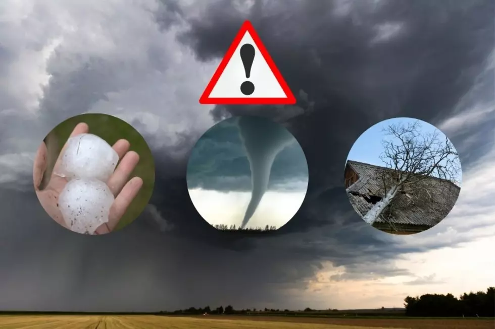
Severe Weather Expected For Lubbock and The South Plains Today
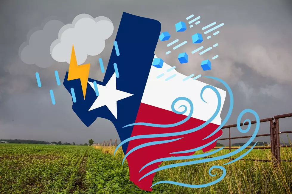
According to the National Weather Service, the dryline is just east of Lubbock, meaning counties from Floyd, Crosby, Garza and beyond will be more susceptible to severe weather.
Potential hazards for today include large hail and damaging winds, so please be aware and keep an eye on the developing weather.
Also from NWS Lubbock, storms are expected to develop after 4 PM, with highs in the 80s and 90s, and lows reaching in the 50s. The highest chance of thunderstorms occurs near Post in Lynn and Garza counties.
Tomorrow is set to be more tame with less severe weather risks as the storms travel away and fizzles out.
May is Texas' busiest time of the year for severe weather, so given that we just started the month, you may want to buckle up and expect more in the coming weeks.
Hail is one thing, but when wind speeds reach such high capacities, the threat of tornadoes arise. In fact, tornadoes are not ruled out when looking at the severe weather risks for tonight east of Lubbock.
If you have any outdoor plans today or are traveling around West Texas, please stay advised and plan accordingly when on the roads.
NWS 2024 Severe Weather Preparedness Guide
Gallery Credit: Mary K
10 Ways to Prepare for Severe Weather in West Texas
Gallery Credit: Heidi Butler
More From News/Talk 95.1 & 790 KFYO