Lubbock and the South Plains Brace For Ice Storm

Last week it was snow, this week another form of wintery precipitation is headed towards Lubbock and the surrounding areas.
According to KAMC, Lubbock and the South Plains into the Rolling Plains are under the threat of ice accumulation instead of snow like we experienced last week. Cold temperatures will accompany the winter weather much of the week.
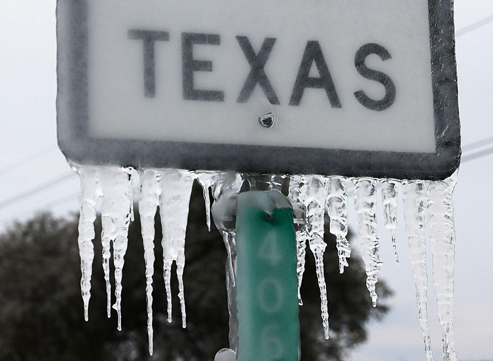
According to KAMC, Lubbock should see less than half an inch of ice accumulation through Wednesday. The biggest threat of ice is across the southeastern South Plains and southern Rolling Plains.
A wintry mix of precipitation (cold rain, freezing rain, sleet and some snow) will be possible across the South Plains and the Rolling Plains from late Monday evening through Thursday. There is a potential for light ice accumulation across the South Plains and across the northern Rolling Plains. A more significant threat of ice accumulation is possible across the the far southeastern South Plains and the southern Rolling Plains. Ice accumulations up to one quarter of an inch are possible in these areas.
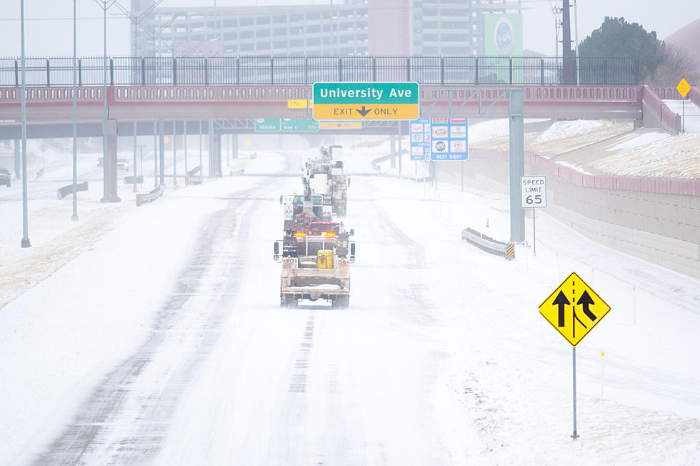
Hazardous travel and road conditions will be possible, especially during the overnight hours and morning commute times.
If ice does form on area roadways, be prepared for a slower commute across the city. There is also a chance of black ice so take precautions while driving and even if walking outside.
KFYO will keep you up to date on this latest round of winter weather on air and online.
Texas Tech Looks Rather Lovely Covered in Snow
30+ Photos of A Cozy North Lubbock Home with a Large Property
10 Reasons Why Texas Might Be Most Stressed at Work
More From News/Talk 95.1 & 790 KFYO