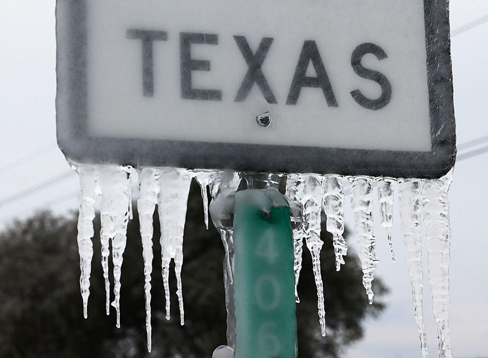
Ice and Snow Expected Across Lubbock and the South Plains for Monday Through Wednesday

Well, if you're not prepared for winter weather, you'll have no choice over the next 72+ hours.
Starting before 4 a.m. on Monday morning (October 26th, 2020), rain will fall in Lubbock and the surrounding area. After 4 a.m., it will then turn into freezing rain and sleet, according to forecasts.
Monday's high in Lubbock will only be 33 degrees, which means whatever moisture falls will cause problems for motorists with ice accumulation. Winds on Monday will be from the north-northeast at 15 to 20 mph, with gusts as high as 30 mph.
KAMC Meteorologist Jacob Riley says, "This event will mainly be an ice event for the South Plains. However, northwestern portions of the region will have the best chance at seeing some snowfall." On Monday night, the precipitation chances go up to 80 percent, bringing wintry mix and more ice to the region.
For Tuesday, October 27th, more freezing rain and sleet before 1 p.m. and a high of just 32 degrees. Then, Tuesday evening another round of freezing rain and snow before 1 a.m.
As you can see from weather graphics from Ron Roberts and the KAMC Storm Team, the highest concentration of ice is in the northeast South Plains, but most of the snow will be in the northwest South Plains.
Finally, for Wednesday, October 28th, more rain and snow before 1 p.m. Wednesday's high will break through the freezing mark at 40 degrees, and winds will be light, just 5 to 15 mph out of the west.
Ron Roberts and the KAMC Storm Team will have the latest updates on News/Talk 95.1 & 790, KFYO, 94.5 FMX, Awesome 98, Lonestar 99.5, 102.5 KISS FM and Talk 1340, concerning this developing winter storm.
Photos From Lubbock’s 2015 Blizzard
Lubbock's Near-Historic 2015 Blizzard
More From News/Talk 95.1 & 790 KFYO