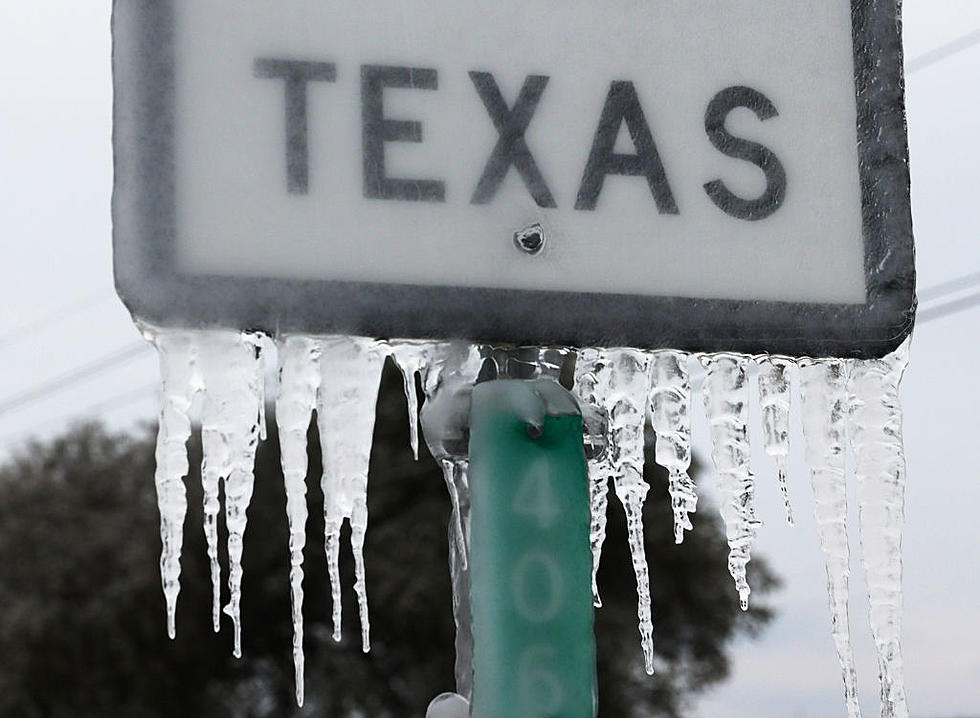
Lubbock May Potentially See 8-15 Inches of Snow This Weekend
The National Weather Service has issued a Blizzard Warning for Lubbock County from 6 p.m. Saturday, Dec. 26 to 9 a.m. Monday. Dec. 28.
The NWS believes a record-setting amount of snow may fall through Monday morning -- from eight inches to as much as 15 or more.
The organization is recommending that anyone with travel plans Sunday and Monday should cancel them as visibility on roadways could potentially be zero due to falling and blowing snow.
"We are confident we will receive around eight inches or so in the metro but we’re giving ourselves some wiggle room, so we're going four to eight in the Lubbock metro," says KAMC 28 chief meteorologist Ron Roberts. "The problem is the wind will be as high as 50 to 55 miles per hour. That means it's going to drift."
Additional information about the winter storm from the National Weather Service:
Timing: A wintry mix of snow, sleet and freezing rain will develop this evening before transitioning to heavy snow tonight and early Sunday over much of the Caprock, with a transition to all snow in the Rolling Plains expected later in the day on Sunday. Blizzard conditions will spread east on Sunday before diminishing from west to east early Monday morning.
Winds and visibility, Northerly winds of 30 to 40 mph with gusts near 60 mph. Visibility from falling and blowing snow will likely be zero at times.
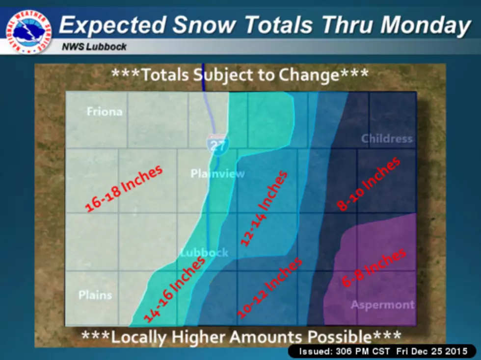
Snow totals, widespread amounts of 6 to 14 inches on the Caprock, with 4 to 10 inches in the Rolling Plains. Some areas could see much higher amounts. Snow drifts up to 10 feet are possible.
Ice accumulations: Up to a quarter inch of sleet and ice are possible across the southern South plains and rolling plains.
Coldest wind chills, from -5 to 10 above zero.
For a full guide of what to do before, during and after winter storms to keep yourself and your family safe, read Ready.gov's full guide. Listen to 790 KFYO on air or online for regular weather updates.
More From News/Talk 95.1 & 790 KFYO