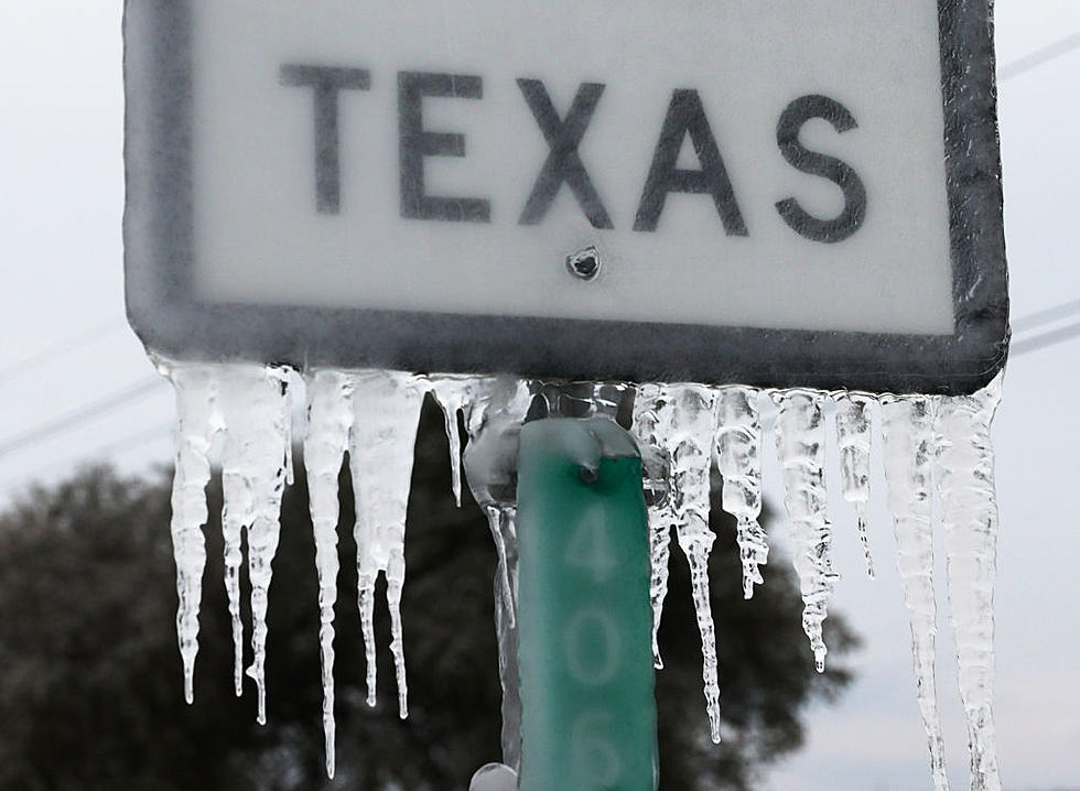
Blizzard Warning for Texas Panhandle, Snow Expected for Lubbock
A blizzard warning will be in effect for the Texas Panhandle from 9 p.m. Sunday through 6 p.m. Monday, as a cold front combines with a significant winter storm system.
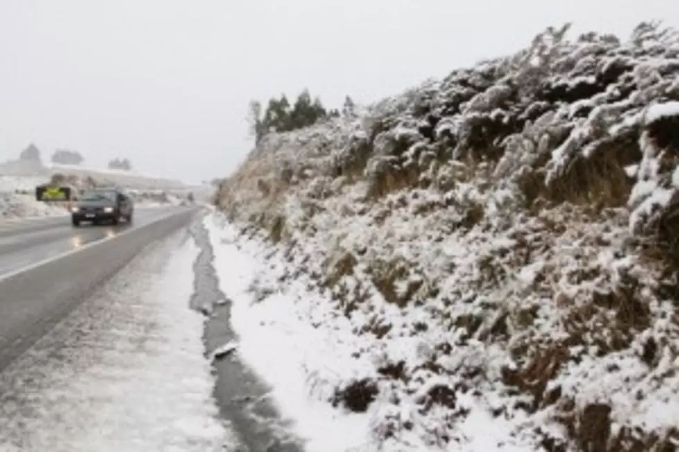
Snow is expected to begin falling in the far southwest Panhandle on Sunday evening, and is expected to end across the far southeast Panhandle by Monday evening, according to the National Weather Service.
The warning covers the entire Texas Panhandle, and goes south to Parmer, Castro, Swisher, Briscoe, Hall, and Childress Counties.
A winter storm warning is also in effect for Bailey, Lamb, Hale, Floyd, Motley, and Cottle Counties. This storm warning goes into effect at 9 p.m. Sunday, and expires at 6 p.m. Monday. The National Weather Service estimates that snow totals of two to four inches could happen in these counties, with strong northerly winds and gusts of up to 55 miles per hour.
The NWS expects the heaviest snow accumulations will be north of a line from Muleshoe to Plainview.
As of 1 p.m. Sunday, Lubbock and the central and southern portions of the South Plains are not under any watches or warnings, but snowy conditions are possible through Monday afternoon, with accumulations of one to two inches possible in the Lubbock area.
In Lubbock, the temperature is expected to drop to around 28 degrees on Sunday night, and Monday currently has an expected high of around 33 degrees, with a 70 percent chance of precipitation.
More From News/Talk 95.1 & 790 KFYO